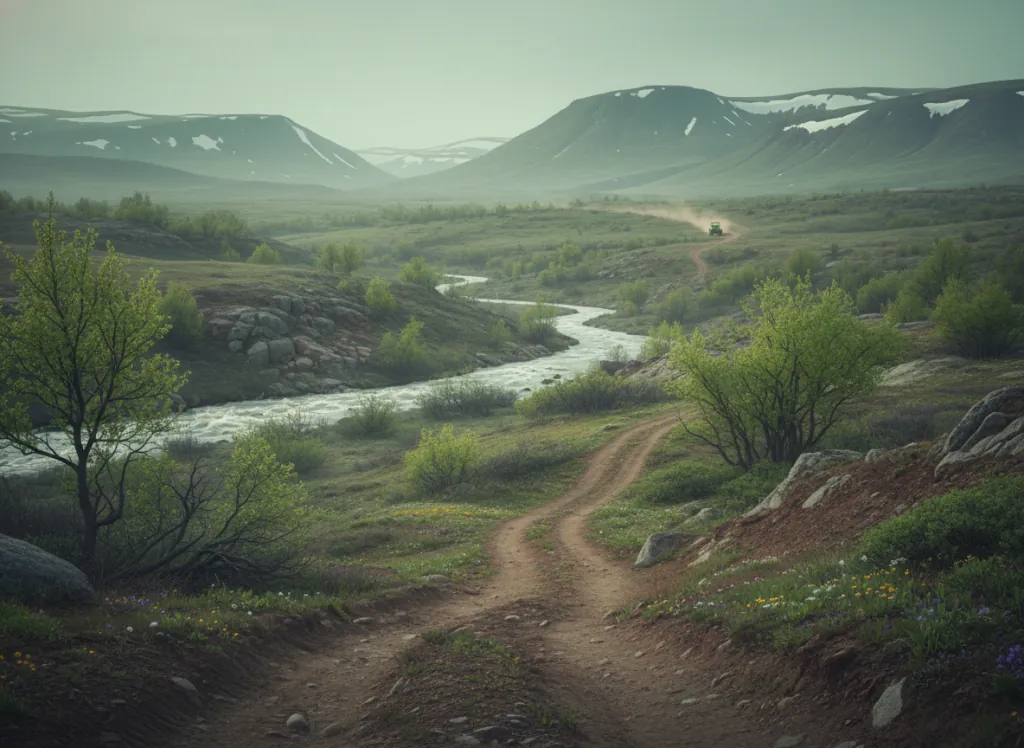
The George Washington National Forest encompasses 1.1 million acres of the northern Shenandoah Valley mountain country in Virginia and West Virginia: the Blue Ridge, Massanutten Mountain, Great North Mountain, and Allegheny Mountain terrain that frames the Shenandoah Valley on both sides and provides the mountain backdrop for Virginia's most historically and scenically significant valley. The OHV trail system operates on designated routes across the forest's Lee, Dry River, Warm Springs, and James River Face Ranger Districts, serving the Washington DC-Baltimore metropolitan area (approximately 10 million people at its closest point) as the nearest national forest with designated OHV trails in the mid-Atlantic region. The Dry River and Shenandoah Mountain districts in Rockingham County provide the most accessible OHV terrain from the Harrisonburg, Staunton, and Interstate 81 corridor: the North Fork Shenandoah and Dry River drainages cut into the Allegheny Front from the valley floor, and OHV designated routes climb from the valley edge to the Shenandoah Mountain ridge crest that forms the Virginia-West Virginia border. The Massanutten Mountain, the 50-mile isolated ridge running down the center of the Shenandoah Valley between Strasburg and Harrisonburg, provides a second distinct riding landscape, with the Fort Valley pocket valley on the mountain's interior and the OHV routes threading through the deciduous forest of shagbark hickory, chestnut oak, and Virginia pine that covers Massanutten's ridge terrain. The Warm Springs district in the south manages the Bath County and Highland County riding terrain adjacent to the Virginia Hot Springs resort corridor. Virginia OHV registration required. Dry River Ranger District at Harrisonburg (540-432-0187) manages current OHV trail conditions.
Hours
Open year-round on designated OHV routes; higher Shenandoah Mountain routes may close under snow. No day-use fee. Virginia OHV registration required on designated routes.
Phone
540-432-0187Website
https://www.fs.usda.gov/gwjTrip openings, seasonal updates, and the occasional deal, straight to your inbox.
FAQ
Everything you need to know before you get started.
Have a question, or ready to book? Reach out and we’ll get right back to you.